Rivers and maps

Covering KS2 geography objectives, children learn about the features of a river, make waterwheels and take part in an activity to support them in recognising symbols on a OS map.
Typical plan:
10.00am – 10.45am – welcome / tour / health and safety
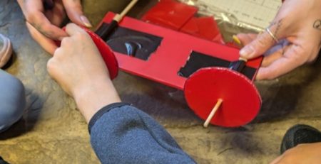
10.45am – 11.45am – make waterwheels
11.45am – 12.45pm – lunch to include s’mores cooked over the fire (rivers quiz also available – adults to lead in small groups)
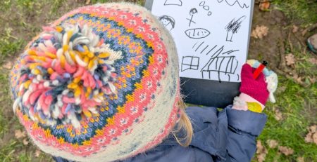
12.45pm – 1.45pm – Introduction to maps – Walk around island as a group / multiple groups and find the features – footpath, woodland, river, boundary line (on map but not an actual physical feature), permissive path, buildings.
1.45pm – plenary and walk back to bus
Possible learning objectives (geography, KS2):
- Describe and understand key aspects of physical geography (rivers) and human geography (waterwheel, canal)
- use fieldwork to observe, measure, record and present the human and physical features in the local area using a range of methods, including sketch maps and plans.
Contact details : edu.howshammill@gmail.com